
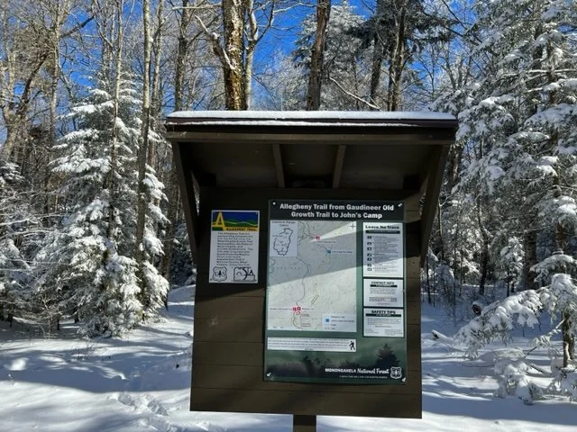
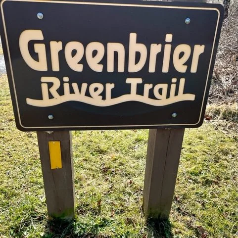
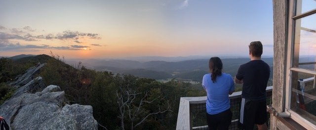
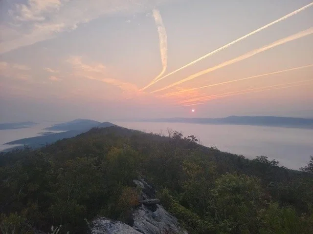
Sections of the Allegheny Trail
The Allegheny Trail, for maintenance purposes, is divided into four "sections," described briefly below and in detail in our "Hiking Guide."
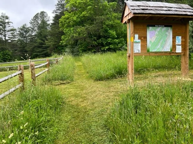
Each trail section has a designated coordinator to monitor trail conditions and manage volunteer activities.
-
Section 1
From
Mason-Dixon Line (Pennsylvania/West Virginia Border)To
Blackwater Falls State Park95.10 mi
-
Section 2
From
Blackwater Falls State ParkTo
Cass Scenic Railroad91.8 mi
-
Section 3
From
Cass Scenic Railroad parking lotTo
WV Road 14 at Lake Sherwood in Greenbrier County64.26 mi
-
Section 4
From
Lake Sherwood to Peters Mountain at the West Virginia/Virginia border60.2
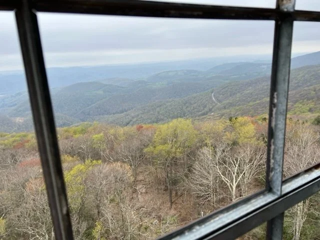
SECTION ONE
(95.10 mi) N-S
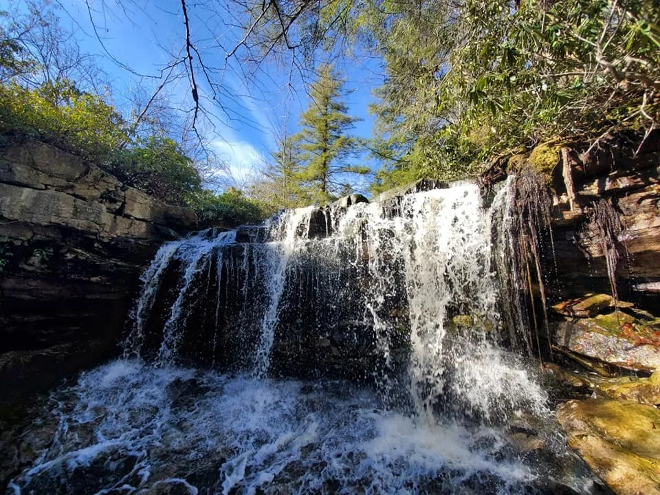
Starts at the Pennsylvania line and ends at the petting zoo/stables at Blackwater Falls State Park.

Camp Dawson Re-Route: The re-route around the Army National Guard firing range has been completed. The new route has been blazed. The blazes on the old route have been removed. You should have no problem following the new route.
-
Miller’s Shuttle Service
Teter’s Campground
Cheat Canyon Campground
N. Preston Kwik Shop
Old Trout Farm
Arnold Park
Horseshoe Run Campground
Blackwater Falls State Park
-
Albright
Bruceton Mills
Terra Alta
Rowlesburg
Thomas
Davis
-
(UPDATED 8/4/2021) Section 1 is blazed and easy to follow with the usual exceptions of lack of trees and poles to blaze in certain locations and blazing paint on fences, utility poles, and treated post that fade much quicker than blazes on trees.
In the dry season, many of the water sources in Section 1 can run dry. Be sure to carry enough water during those times.
Beware of dogs on private property, the first 13 miles until you reach Mt. Nebo and then the short distance between Amblersburg and Rowlesburg.
Hikers should note the information in the guide and guide updates concerning the high water route around Cheat Canyon.
The greatest potential to get turned around in Section 1 is located north of WV RT7 at Peddlers Glory Road 45/3 (MP 39.0).
This old road is actually a mostly dry stream bed all the way down the hill where the stream bed turns wet. Both sides of the almost non-existing road are heavily posted. The Northbound hiker will find the turn onto Peddler’s Glory Rd. difficult to find as of August 2021.
SECTION TWO
(91.8 mi) N-S
Starts at the petting zoo/stables at Blackwater Falls State Park and ends at the parking lot at the Cass Scenic Railroad.


-
Blackwater Falls State Park Lodge
Canaan Valley State Park
Red Creek P.O.
Laurel River Club B&B
Alpine Lodge & Restaurant
Glady Village
East Fork Campground & Stables
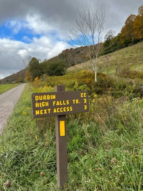
Durbin (town)
-
You will find swampy sections around Daniel's Creek (M.P. 42.7) towards the footbridge over Glady Fork (M.P. 42.9).
You will also find a section on Shavers Mtn. that was recently logged (around the M.P. 55 area), which is full of blackberry vines, and a steep rocky area from M.P. 64.8 coming down off the mountain to M.P. 66.5. Numerous tread improvements have been made recently in this area (May 2020).
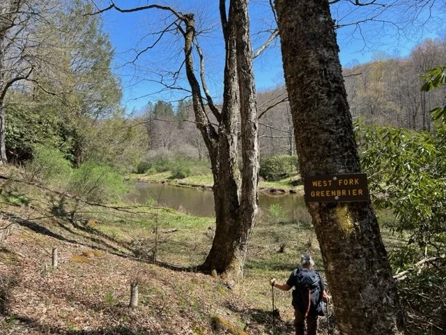
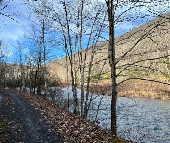
Hikers should note the information in the guide and guide updates concerning the high water route around the West Fork of the Greenbrier. It can be waist-high, even in summer.
*Hikers should note the information in the guide and guide updates concerning the high water route around the Glady Fork washout (M.P. 18.2) and around the West Fork of the Greenbrier.*
SECTION THREE
(64.26 mi) N-S
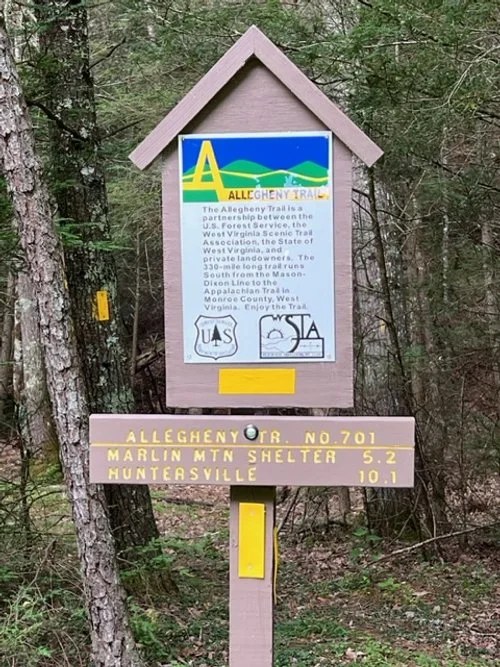
Starts at the Cass parking lot. The end of Section 3 is in Greenbrier County where the trail meets county road 14 to Lake Sherwood.
-
Cass Scenic Railroad State Park
Bear Creek Lodge
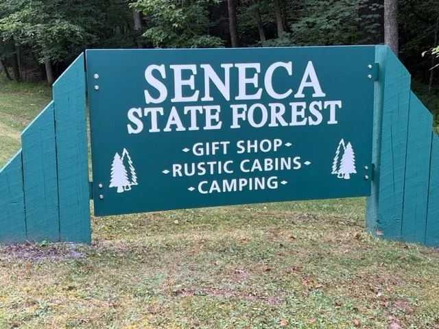
Seneca State Forest
Route 39 Stop in Huntersville
Watoga State Park
Outdoor Adventures in White Sulphur Springs
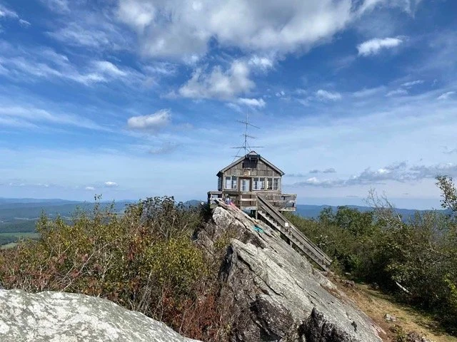
Lake Sherwood Recreation Area, USFS
-
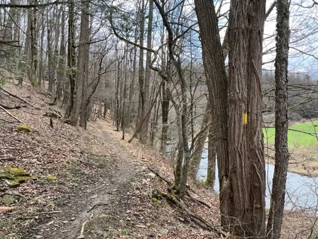
Section 3 is generally clear and well-blazed, but the seasonal brush can be a nuisance, especially on the ridges at gaps in the canopy.
A microburst storm caused damage to the trail north of Huntersville in April 2020. The problem has been remedied, but the canopy was destroyed. The tread had to be reworked, but root balls remain and the area will be prone to seasonal brush.
The tread needs improvement ascending Marlin Mountain from the north, and descending Middle Mountain, Buckley Mountain, and Meadow Creek Mountain to the south. Reroutes are being considered in several of these locations to improve the grade.
The trail is steep in these locations, or the tread has narrowed over time and doesn’t feel wide enough for most backpackers. Improvements to Meadow Creek Mountain South are planned for September 2021.
Notice: January 2022
WVSTA was just apprised that a USFS project - the Dock Project - was started on the ALT in Section 3. This may necessitate a temporary change in the ALT route.
SECTION FOUR
(60.2 mi) N-S
Starts at Laurel Run Trailhead along Lake Sherwood Rd and ends at the intersection of the AppalachianTrail along Peters Mountain.

-
Outdoor Adventures in White Sulphur Springs
Moncove Lake State Park
The Barn Store
Cheese ‘n’ More Store
Kitchen Creek Bakery
-
The brush on Section 4N is mostly under control. During the summer the trail can become overgrown with brush and stinging nettle. Recommend long pants through the spring and summer months.
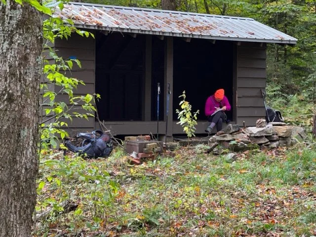
It is recommended to plan on dry camping at the Graham Shelter. The water source by the Graham Shelter has a bad taste even after filtering. The pond is filled with rotting leaves and stumps.